
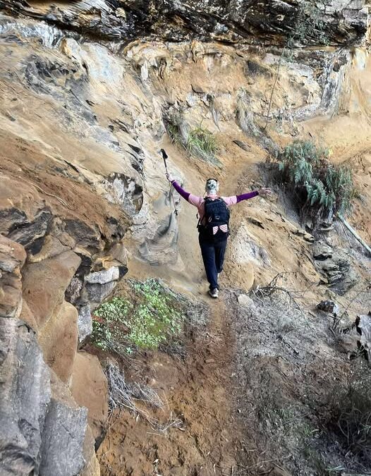
Bluff River Gorge Hike - Buckland, Tasmania
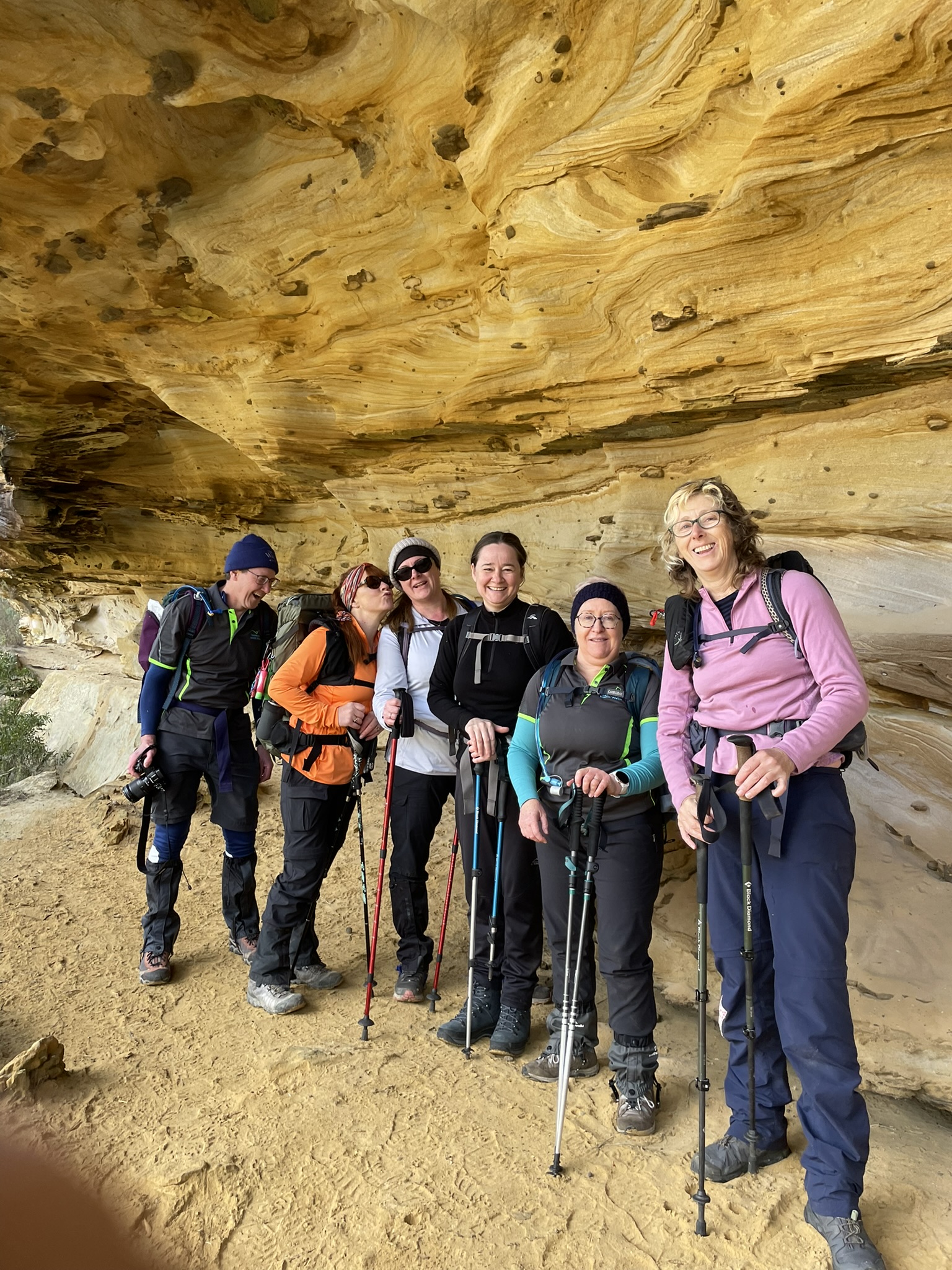
Bluff River Gorge hike features a glorious display of sandstone caves and cliffs a long a narrow path that is marked by predominately pink tape. I highly recommend a GPS app like Alltrails or Gaia GPS as there are a few fire trails and other paths which lead to a longer circuit that crosses the Bluff River. To reach the walk start drive to Buckland on the A3, and then the C318 (Buckland Road) for about 11.6 kms to the walk start. It is about 600 metres past the Cutting Grass Road intersection and on the edge of a cleared paddock. We parked our cars there.
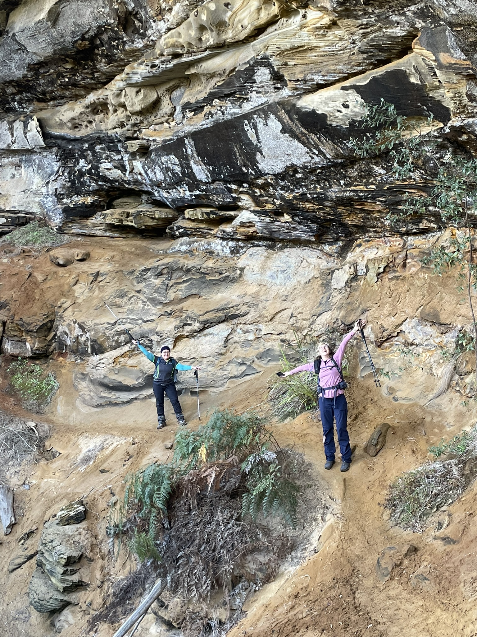
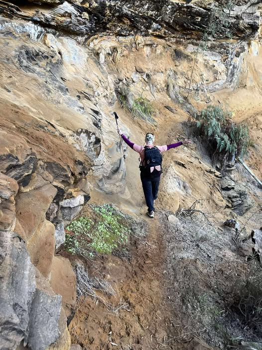
Our intention was to walk towards the gorge, and turn left and complete the top side of the hike without crossing the river, and then return via the sand fire trails, making our hike about 8 km total. We missed the turn off, and realised we had gone too far towards the river, so we back tracked until we found the turn off we needed. It was a little tricky to find.
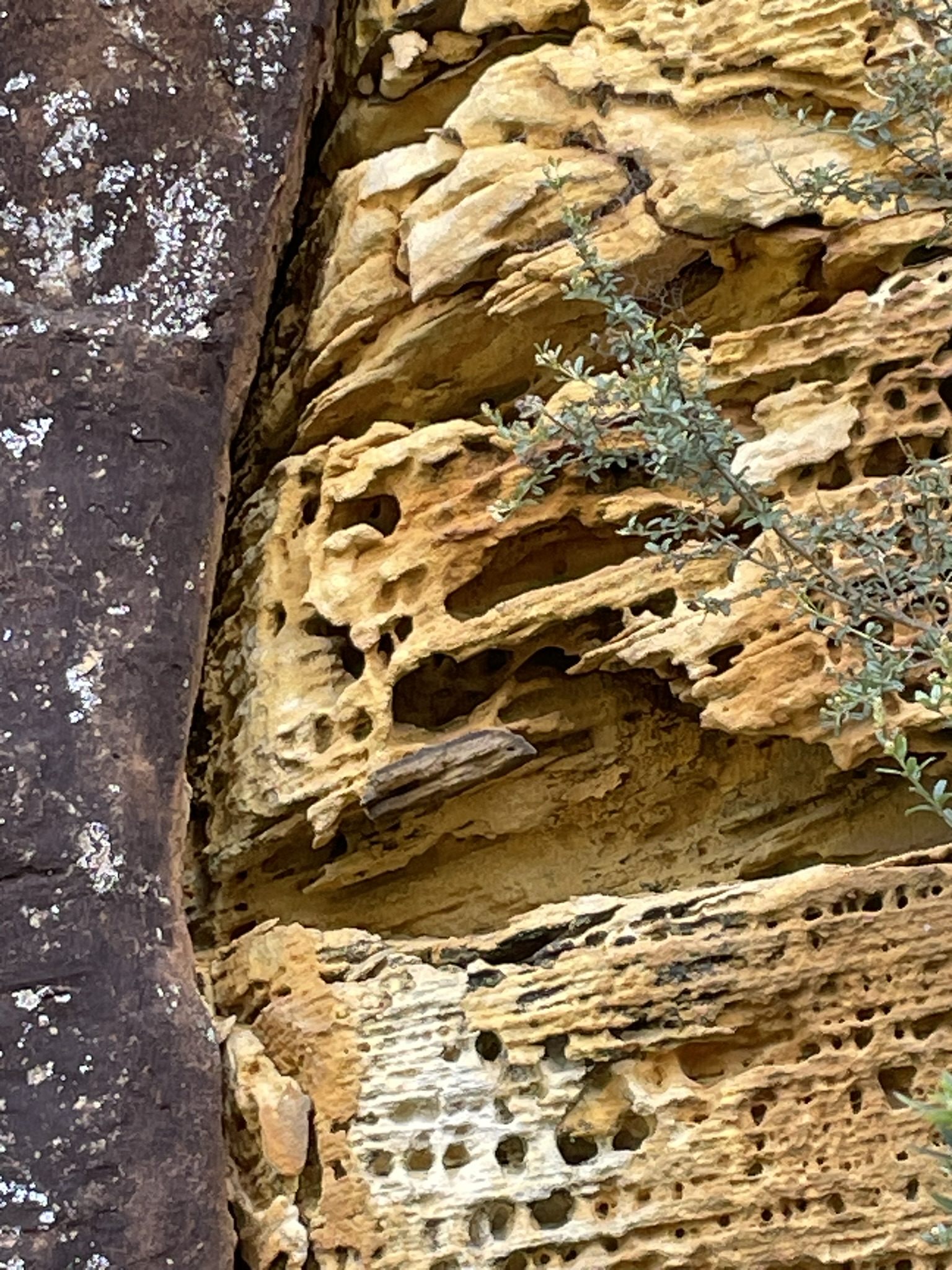
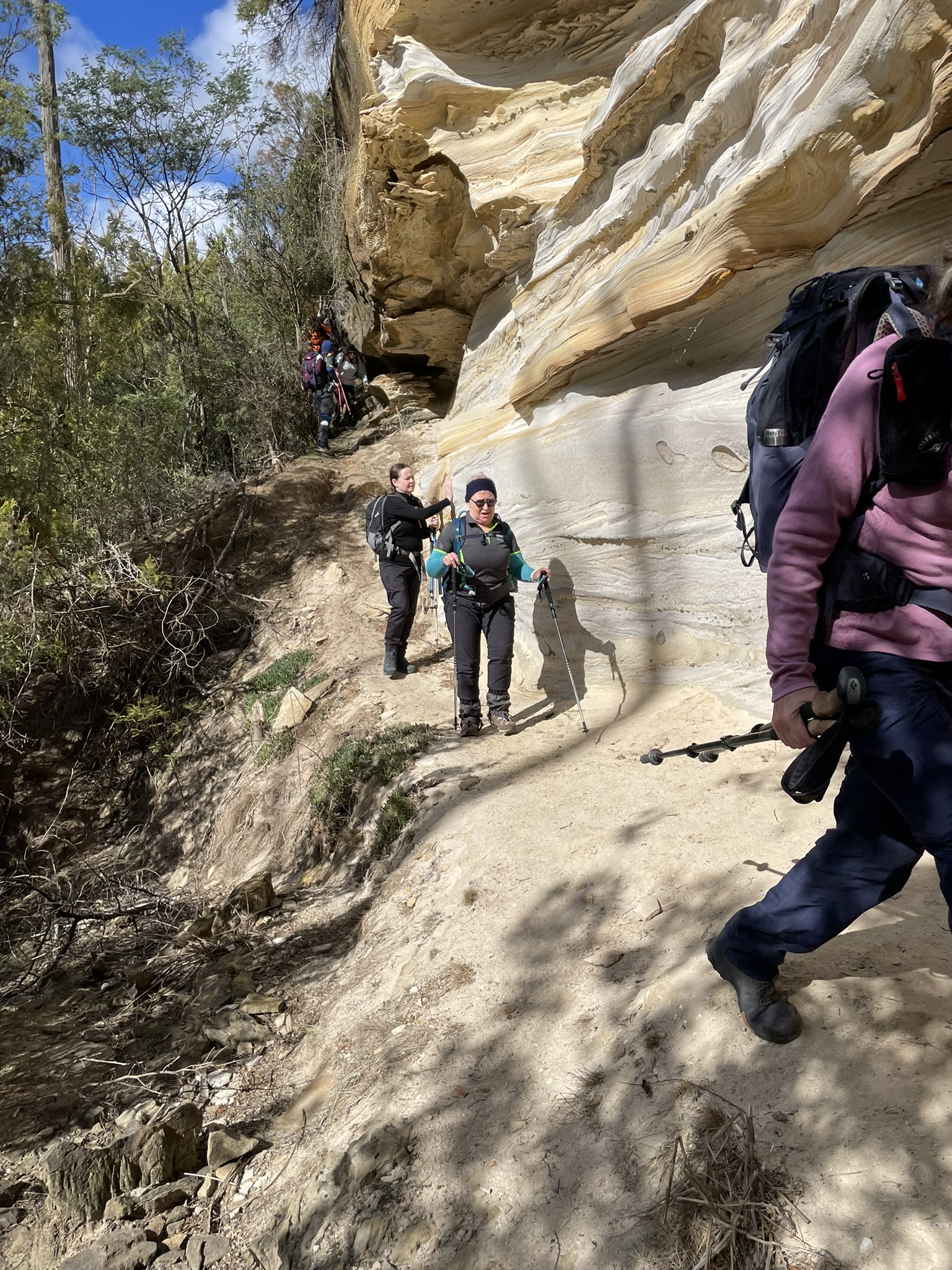
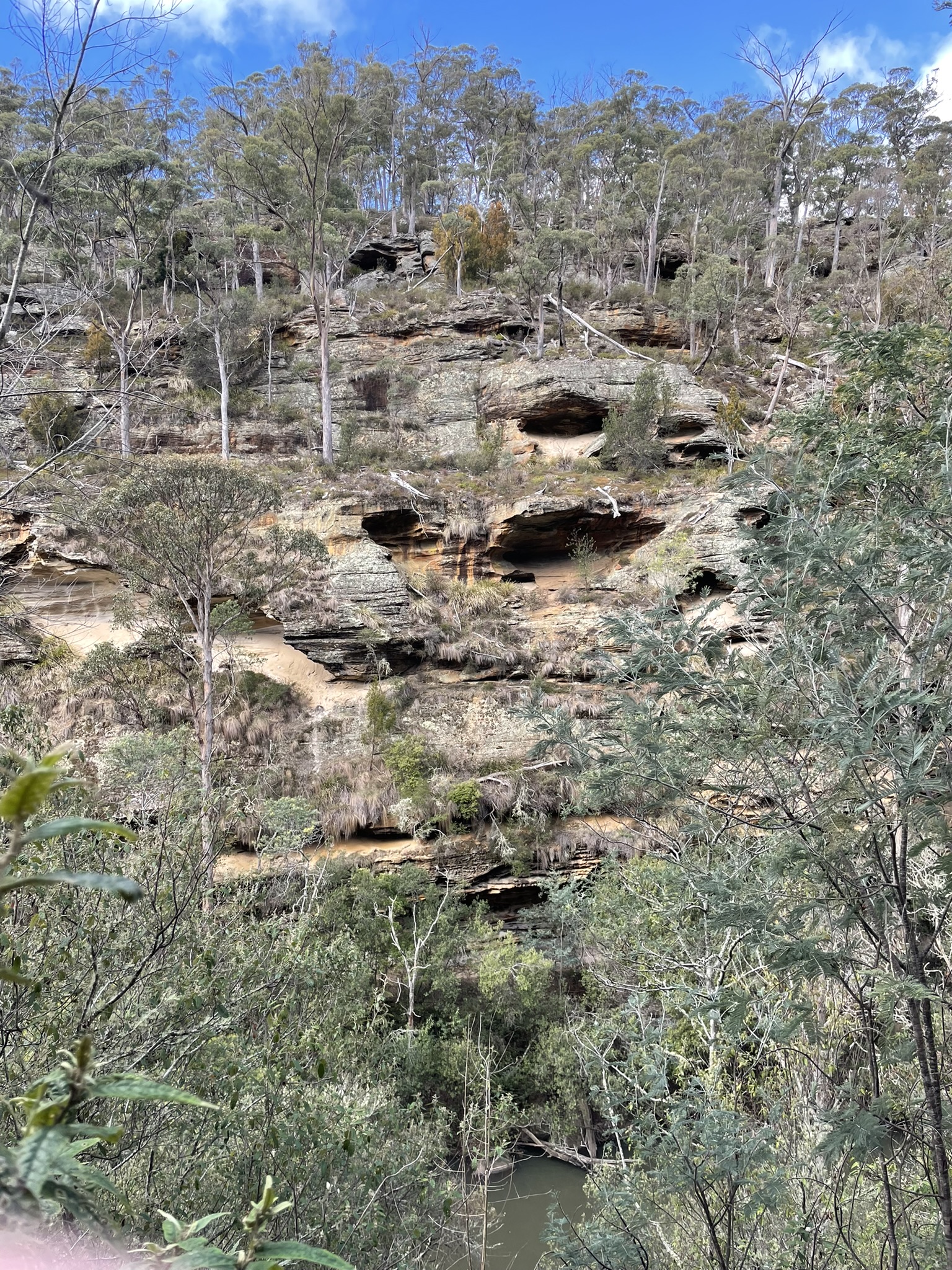
Almost immediately the feast of glorious sandstone cliffs begins. Additionally you have the views of the other side of the gorge which has little cave pockets along its whole face. It is a breathtaking vista. We took our time enjoying the sandstone colours and features, and trying to work out which animals might own the paw prints that were all over the trail. No doubt there are Tassie devils, wombats, echidna and pademelons. We didn’t see any but there were scats and prints everywhere.
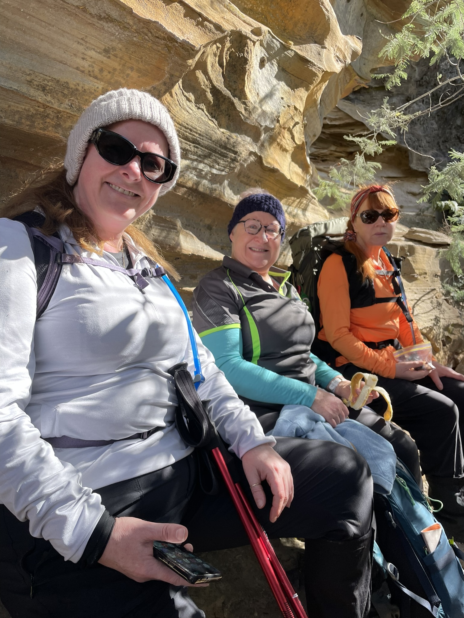
We stopped for lunch at the water’s edge, and there are some old nets there. The story is this was home to a marijuana crop many years ago. We took our time, enjoyed this remarkable place, and concluded the walk via the sandy road which is obviously enjoyed by those on trail bikes.
Distance: 8 km loop
Time: 4 hours allows for lunch and plenty of photos
Ascent: 171m